
PAIHIA – KAITAIA
Section Distance = 137 km
Total Distance = 2789 km
PAIHIA – KERIKERI
Leaving Paihia I am reminded of just how much history northland holds for NZ. I hiked past the Waitangi Treaty Grounds (location of the signing of the treaty between the Maori Tribes and the British crown in 1840) but as I left so early it wasn’t yet open to visitors for the day.
This led me to a forestry road (at least I didn’t have to dodge cars all day) and into Kerikeri.
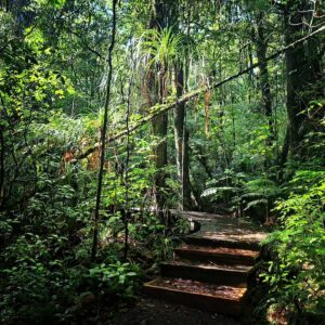
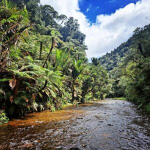
The stone store (an old trading post site) which along with Kemp House was the base for a church mission settlement in the Kerikeri basin was interesting to see. But my favorite part of the day was the river trail to rainbow falls!


KERIKERI – PUKETI FOREST HUT
After waking to a full on thunder and lightening storm the next morning I was very thankful for the hospitality of trail angel Albert and was glad I wasn’t in my tent through the storm.
My luck is holding though, and the storm passed just as I was leaving Kerikeri for my last hut of the trail.
Puketi Forest Hut was luxury (electricity, shower, jug and microwave…have I walked into the right place???)
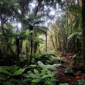
I had time to explore the short nature walk next to the hut before meeting with John from the Puketi Forest Trust to learn more about the work they do to protect the forest from predators and prevent Kauri dieback disease.
One of my favourite experiences of the journey has been meeting the amazing conservation groups I have been fundraising for and seeing the positive impact they are having on ecosystems across New Zealand.
PUKETI FOREST HUT – BLACKBRIDGE ROAD CAMP
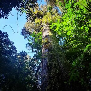
A gravel road leads from Puketi Forest Hut to the start of the Pukatea Ridge Track. This is a lovely, well marked track with a lot of effort dedicated to protecting the Kauri Trees. Upon reaching the Waipapa River Track however, the path turned into a slow, slippery slog in which the Mangapukahukaku Stream eventually became the trail.
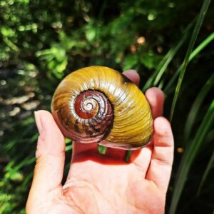
I sloshed my way along the stream and found a giant snail shell! The last 2km to the camp were challenging with long wet grass making the ascent slippery.
BLACKBRIDGE ROAD CAMP – MAKENE ROAD CAMP
An easy day on gravel roads and a stop at the Mangamuka Dairy in preparation for passing through the northland forests tomorrow.
MAKENE ROAD CAMP – OLD TAKAHUE SADDLE ROAD CAMP
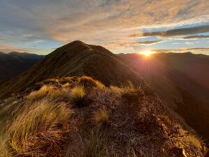
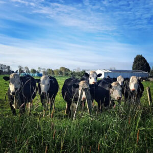
The rain has continued over the last few days so I was expecting a slow and slippery journey through the forests (another area notorious for taking longer than expected). The first few km’s of track were through farmland (in which cows had knocked down some markers) and after losing the trail I ended up bush bashing with my GPS to reach the Umaumakaroro Summit (445m) and relocate the path.
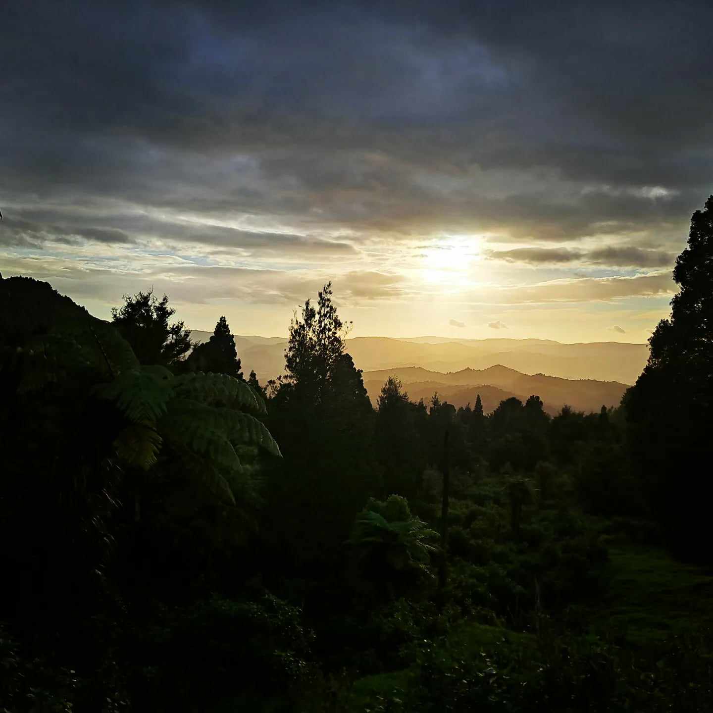
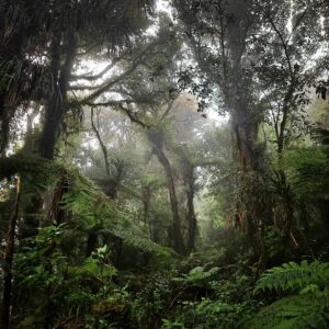
The trail then entered the Raetea Forest and I LOVED this section!
As expected, it was slow going on a muddy and slippery track but the misty cloudy hike along the ridge of the Mangamuka Track over both the Kumetewhiwhia Summit (638m) and Raetea Summit (744m) was otherworldly.
I slid my way down to camp where I found the official worst loo on trail… A hole covered with a piece of ply wood would have been doable if it wasn’t for the unstable looking soil around it! I had no plans on adding “fell into a long drop” to my trail stories so I dug my own hole instead. I’m not taking any chances this close to my goal.
OLD TAKAHUE SADDLE ROAD – KAITAIA
Another road walk into Kaitaia and one of the only times I felt nervous on the whole trail was dodging cars on SH1…
A final re-supply day and then the HOME STRETCH! Join me in Te Araroa Part 21 as I take on 90-mile beach…